Title
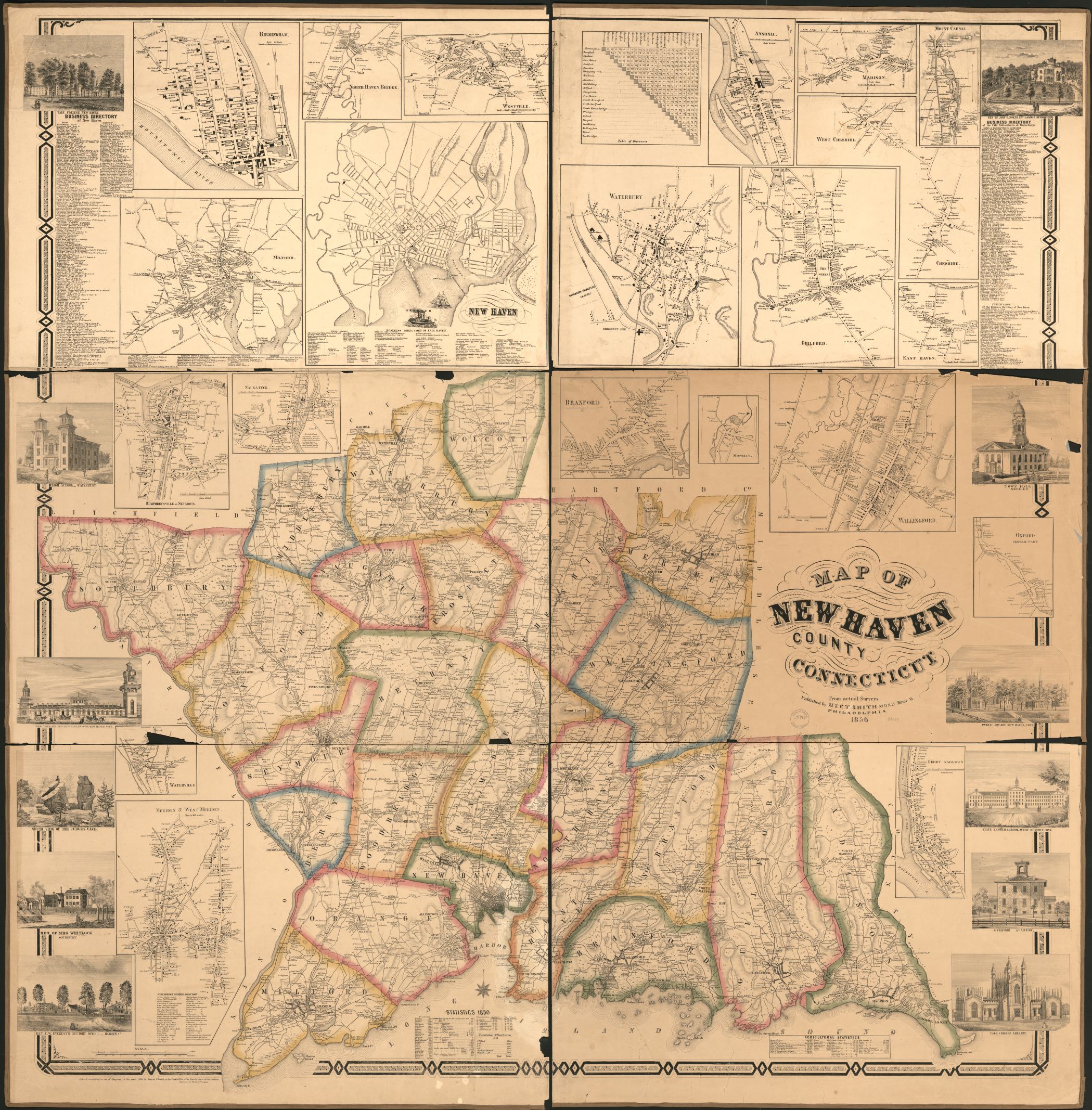
Map of New Haven County, Connecticut.
Contributor Names
H & C.T. Smith (Firm)
Subject Headings
– New Haven County (Conn.)
– Landowners–Connecticut–New Haven County
– United States–Connecticut–New Haven County
Notes
– Relief shown by hachures.
– Shows landowners.
– LC Land ownership maps, 65
– Available also through the Library of Congress Web site as a raster image.
– Includes illustrations, business directories, statistics, and distance chart.
– Ancillary maps: Ansonia — Birmingham — Branford — Derby Narrows — East Haven — Guilford — Humphreysville or Seymour — Madison — Meriden & West Meriden — Milford — Mixville — Mount Carmel — Naugatuck — New Haven — North Haven Bridge — Oxford, central part — Wallingford — Waterbury — Waterville — West Cheshire — Westville.
– LC copy sectioned into 6 pieces. DLC
Medium
1 map : hand colored ; 74 x 123 cm
Call Number
G3783.N3 1856 .H2
G3783.N3 1856 .H2 Copy 2. Mounted on cloth, laminated, and sectioned in six.
Repository
Library of Congress Geography and Map Division Washington, D.C. 20540-4650 USA dcu
Digital Id
g3783n la000065a http://hdl.loc.gov/loc.gmd/g3783n.la000065a
g3783n la000065b http://hdl.loc.gov/loc.gmd/g3783n.la000065b
Library of Congress Catalog Number
2012586233
http://lccn.loc.gov/2012586233
